
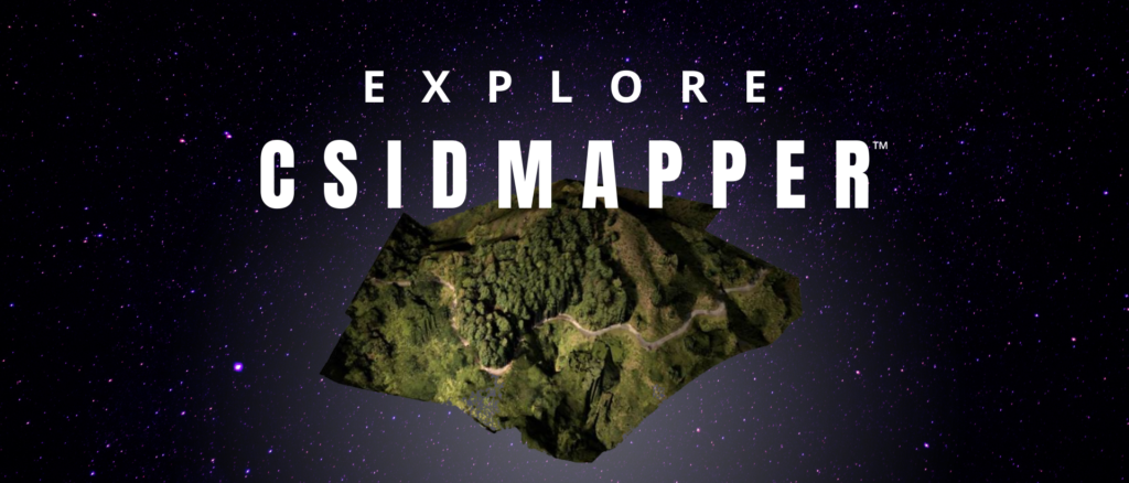
Don’t Just Map the World Transform It with CSIDMapper™
Redefining Geospatial Standards
Welcome to CSIDMapper™, a flagship product of CSID Technomatrics and a revolutionary geospatial platform setting unprecedented standards in mapping and analytics. For the first time in India, we are delivering cutting-edge solutions that redefine the possibilities of UAV-based data processing and geospatial insights.
Your Trusted Partner in Geospatial Excellence
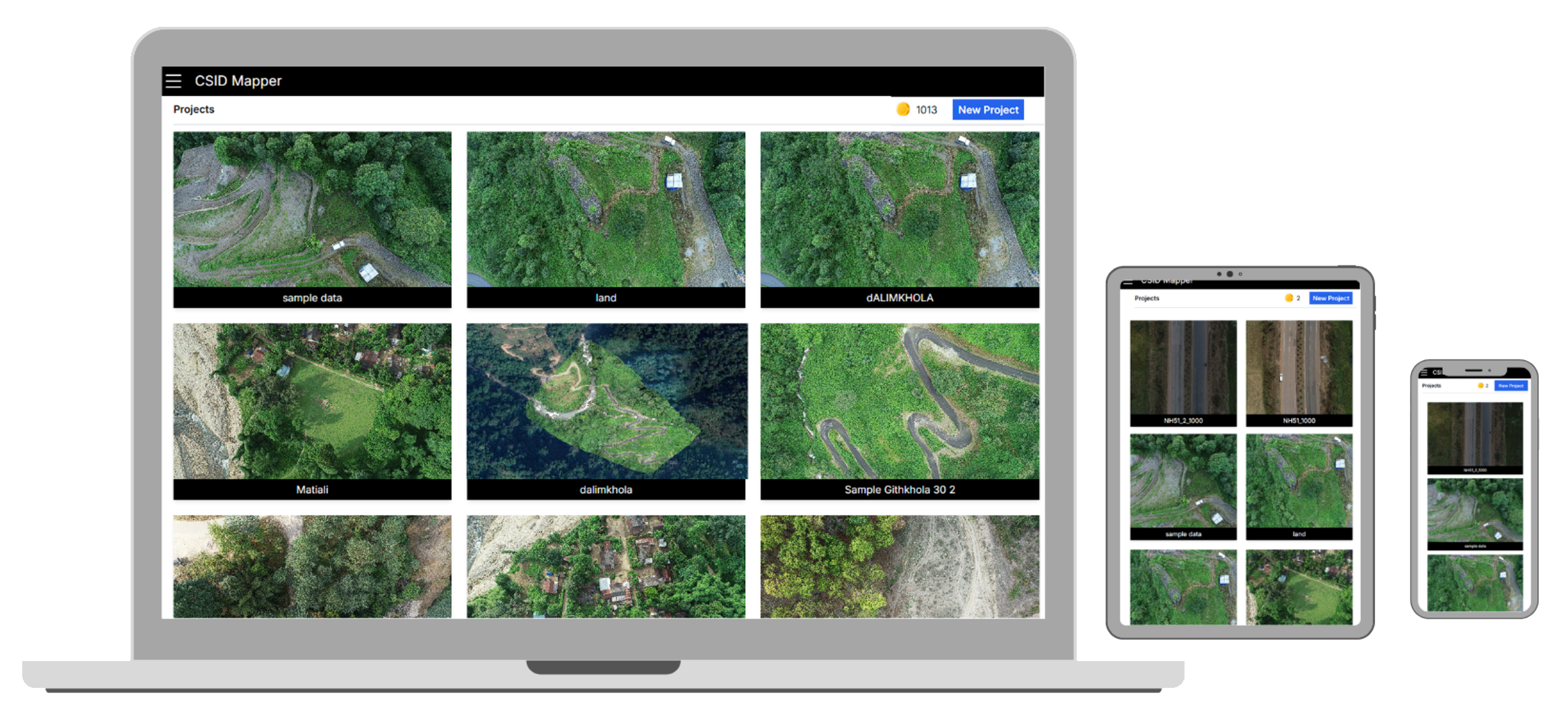
CSIDMapper™ is not just a software; it’s a technological breakthrough that transforms how geospatial data is processed, visualized, and utilized. Designed for precision and speed, CSIDMapper™ empowers industries with cutting-edge features that make mapping smarter, faster, and more intuitive.
See the World Like Never Before
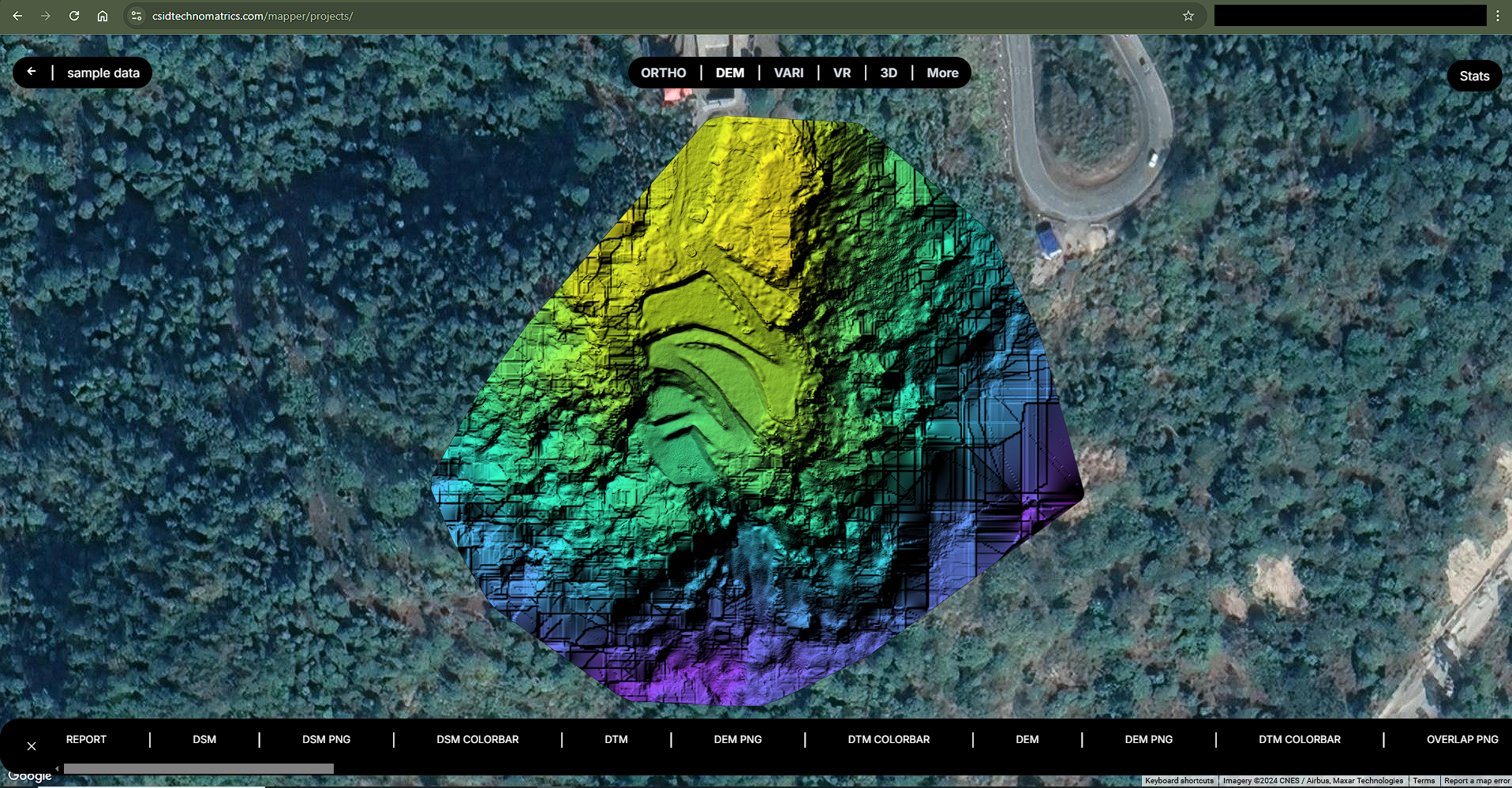
Step into the future of geospatial intelligence with 3D maps
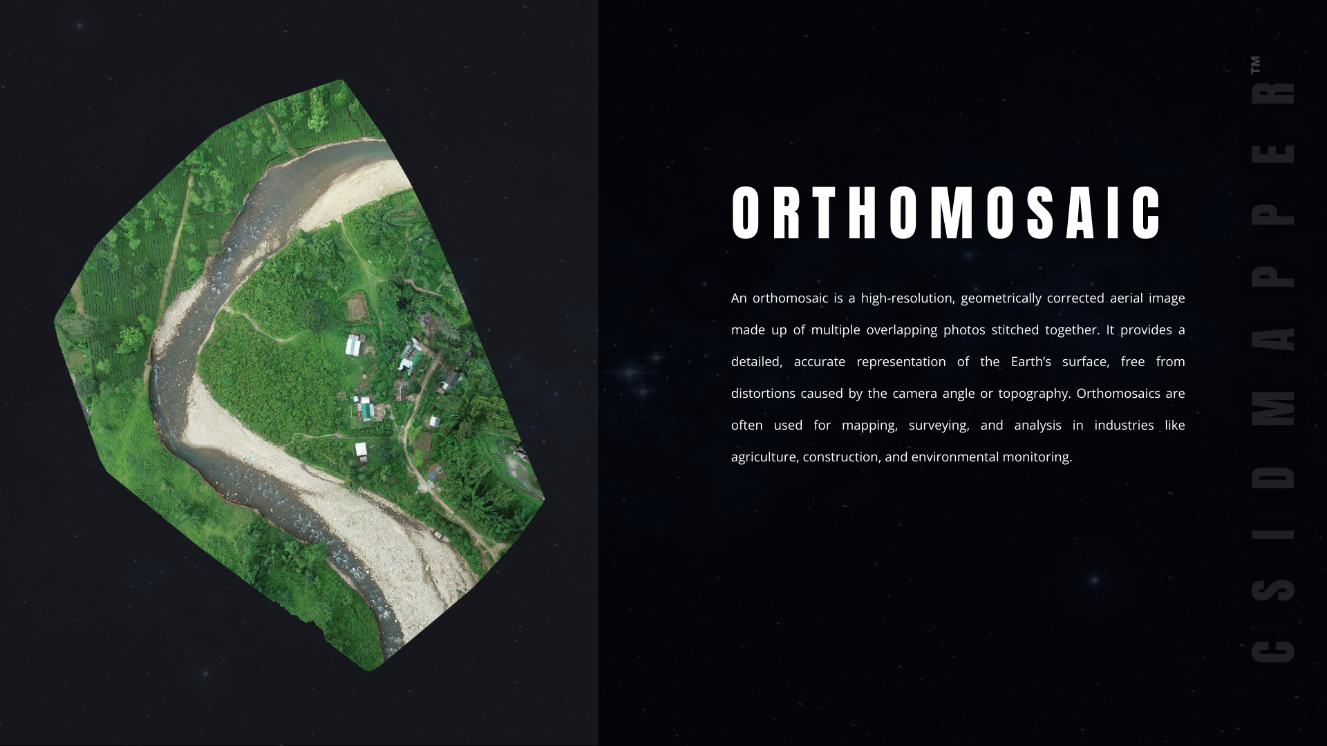
Visualize terrain, structures, and projects with real-world depth and detail.
Generate 3D maps with unparalleled accuracy, capturing every detail of the landscape.
Detect patterns and opportunities hidden in 2D data.
From urban planning to environmental monitoring, CSIDMapper™ redefines possibilities across sectors.
Join the Geospatial Revolution with CSIDMapper™
CSIDMapper™ isn’t just about mapping—it’s about empowering you to make smarter decisions, faster. From generating reports to delivering actionable insights, our platform sets the benchmark for excellence in geospatial analytics.
Be a Part of India’s First World-Class Mapping Solution
With a commitment to environmentally responsible practices, CSIDMapper™ supports sustainable development goals, helping clients minimize their ecological footprint.
F.A.Q.
Frequently Asked Questions (FAQs) About CSIDMapper™
CSIDMapper™ is a cutting-edge geospatial mapping platform designed to process UAV data, generate high-resolution maps, and provide comprehensive geospatial analytics. It offers unique features like 3D map transformations, faster processing, and auto-generated reports with UAV metadata.
CSIDMapper™ is the first platform in India to deliver advanced geospatial capabilities such as 3D map conversion, hillshade outputs, and 55+ geospatial outputs with unparalleled speed and efficiency. It also introduces a Digi Credits system for cost-effective processing.
Yes! CSIDMapper™ can transform any 2D map or geospatial data into immersive, high-resolution 3D visualizations, providing greater insights and better decision-making tools.
Absolutely! CSIDMapper™ features a single-window dashboard for seamless navigation, intuitive controls for toggling between satellite views and geospatial layers, and automated workflows to simplify complex tasks.
CSIDMapper™ delivers best-in-class accuracy, ensuring precise geospatial outputs for detailed analysis, even for the most demanding applications like infrastructure development and disaster management.
Yes, CSIDMapper™ is designed to scale effortlessly, making it suitable for both small-scale projects and extensive mapping initiatives involving vast areas or high-resolution datasets.
Getting started is simple! Contact us through our website or email, and we’ll provide you with a demo, pricing details, and support to integrate CSIDMapper™ into your workflow.